
Walk with me
London Maps Collection
Londres se descubre por barrios.
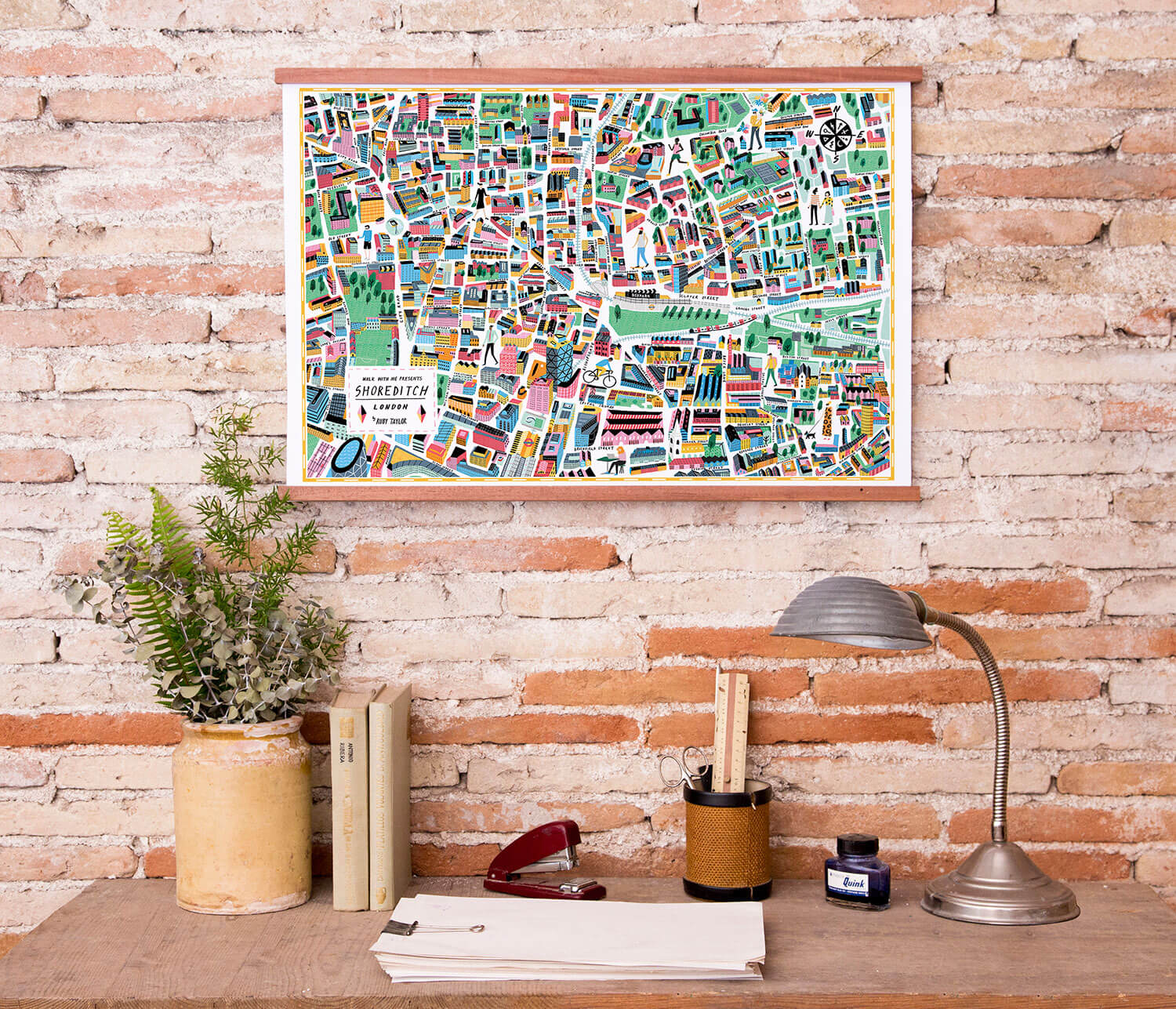
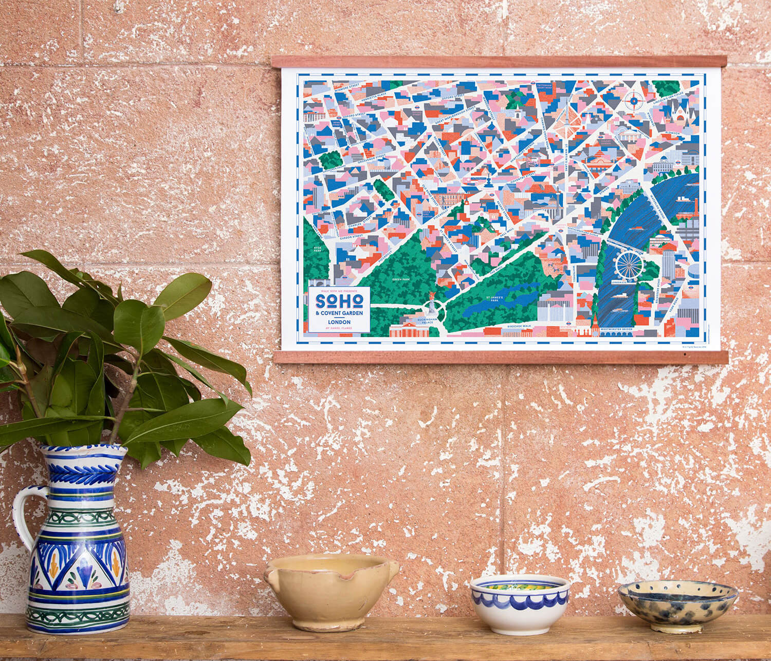
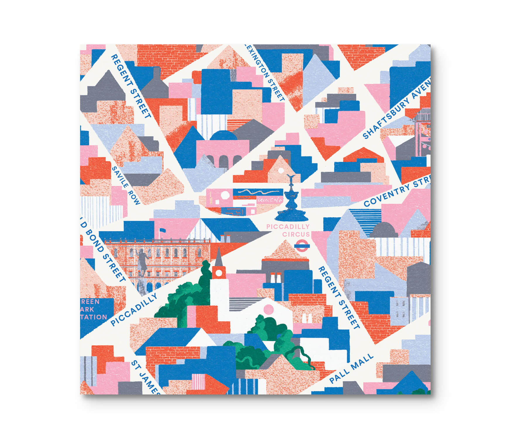
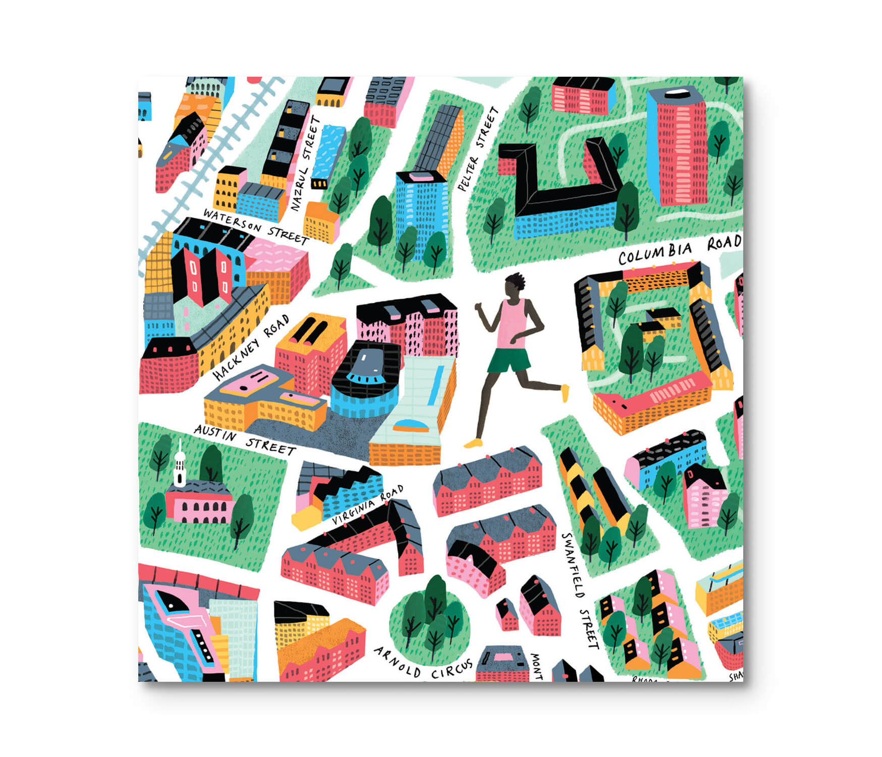
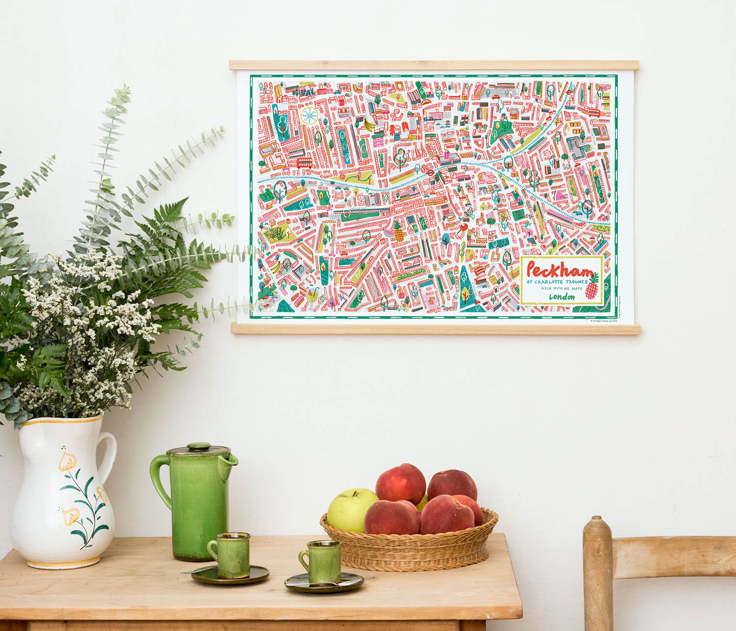
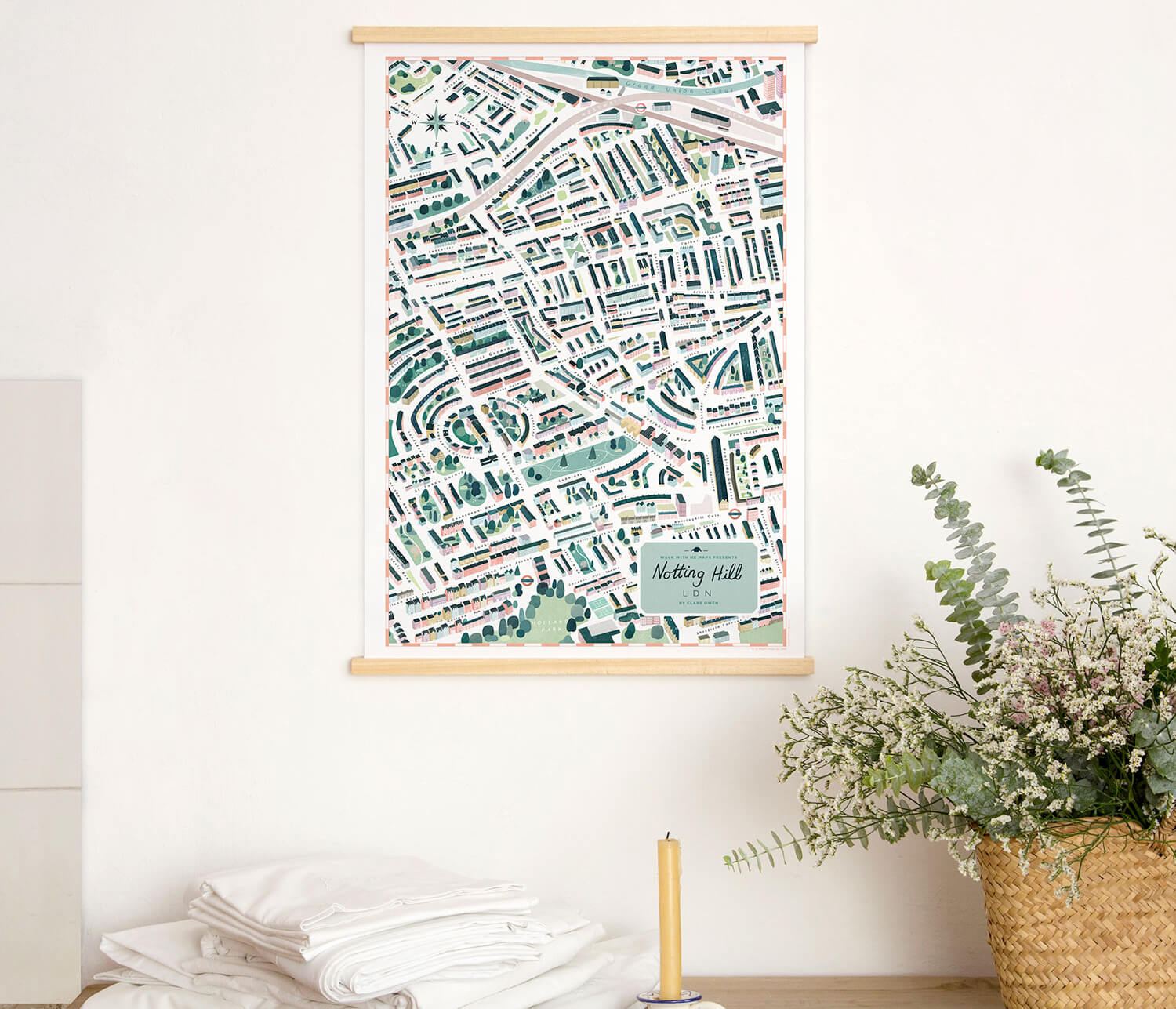
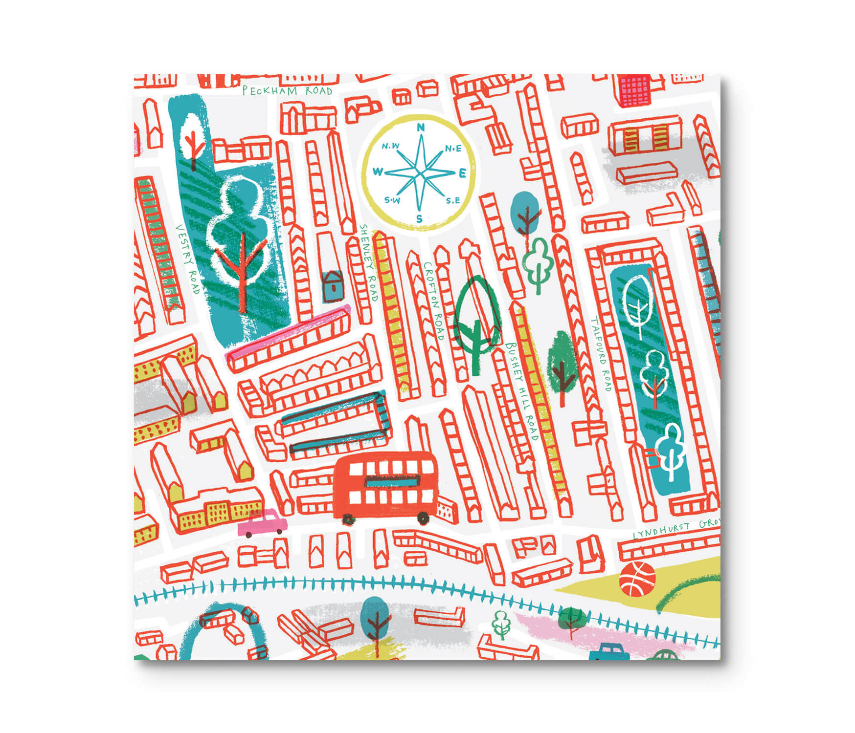
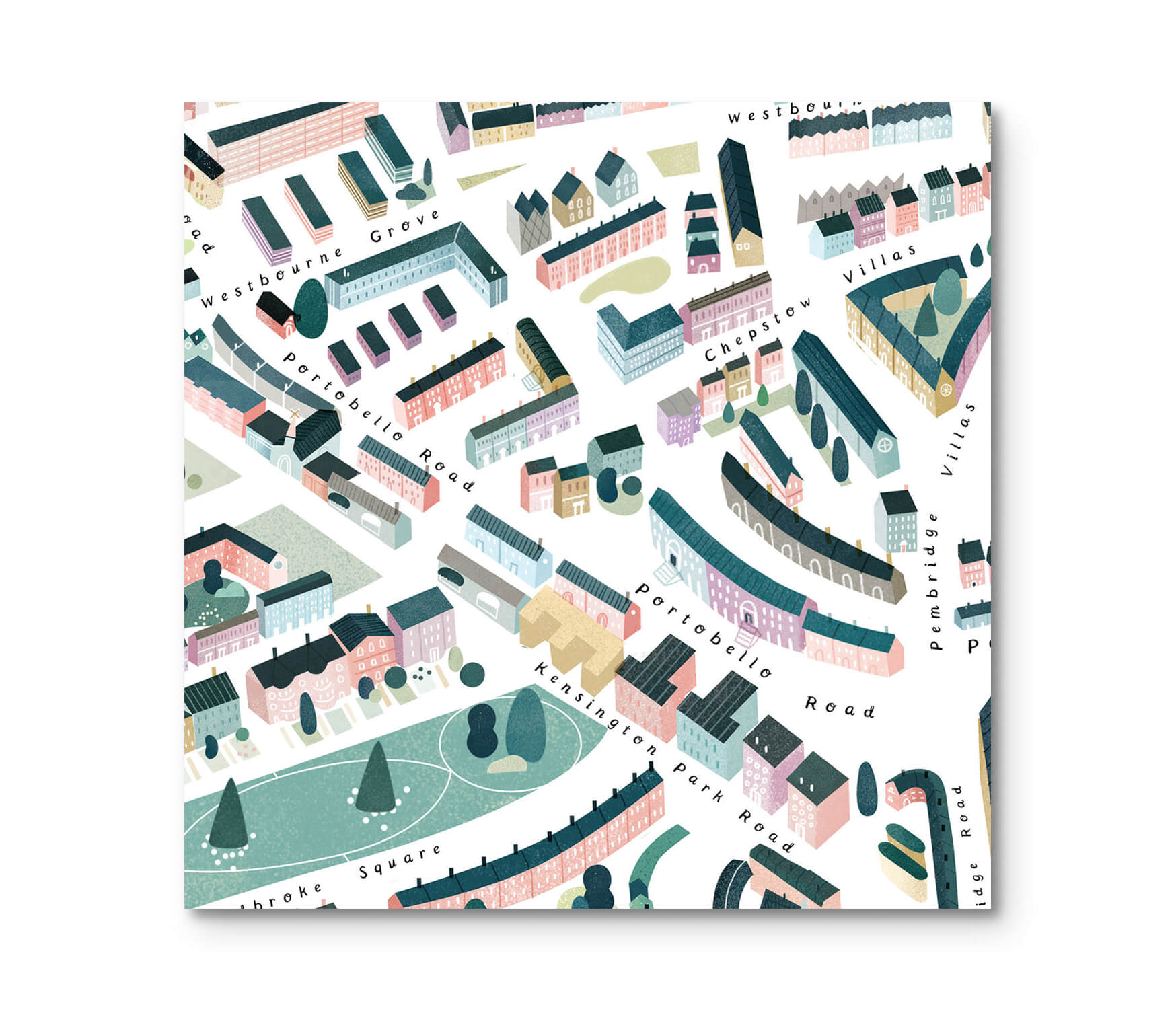
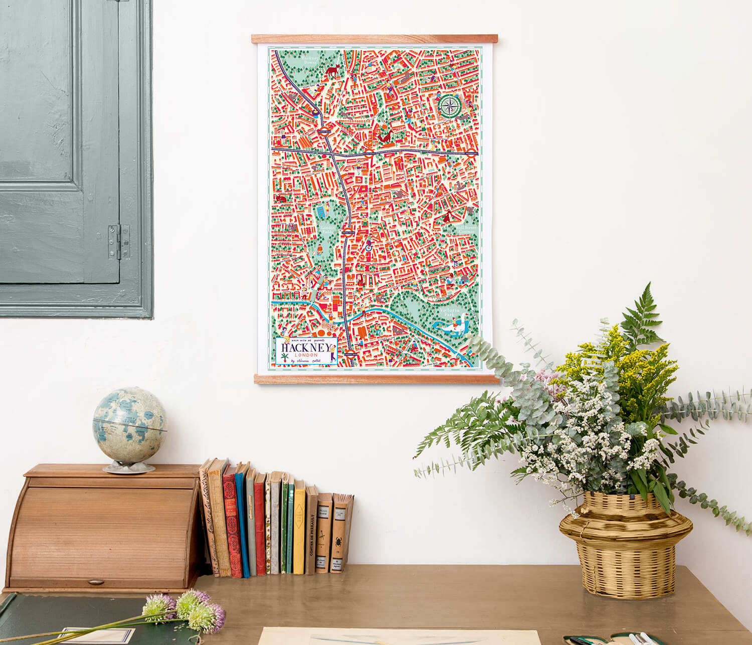
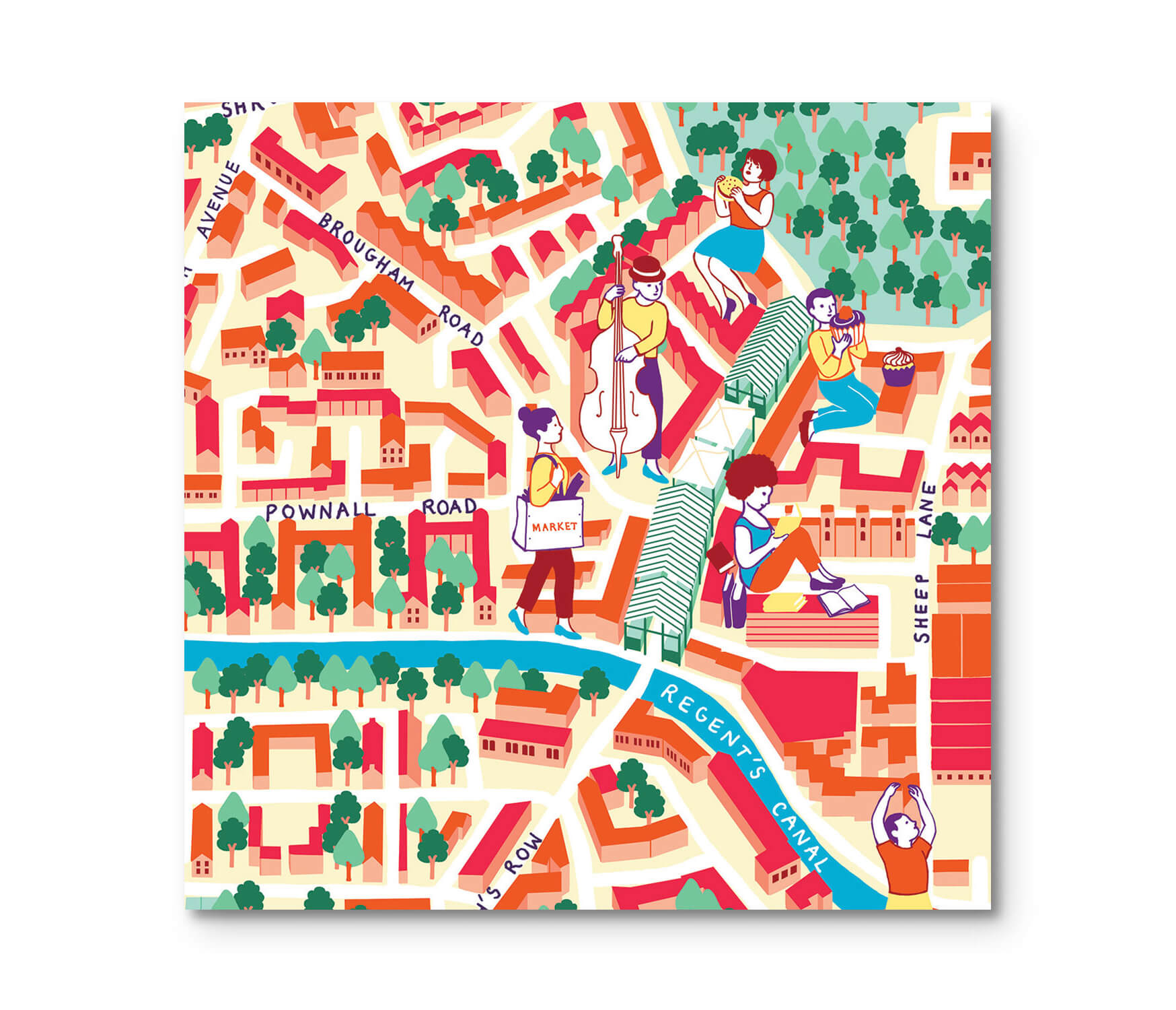
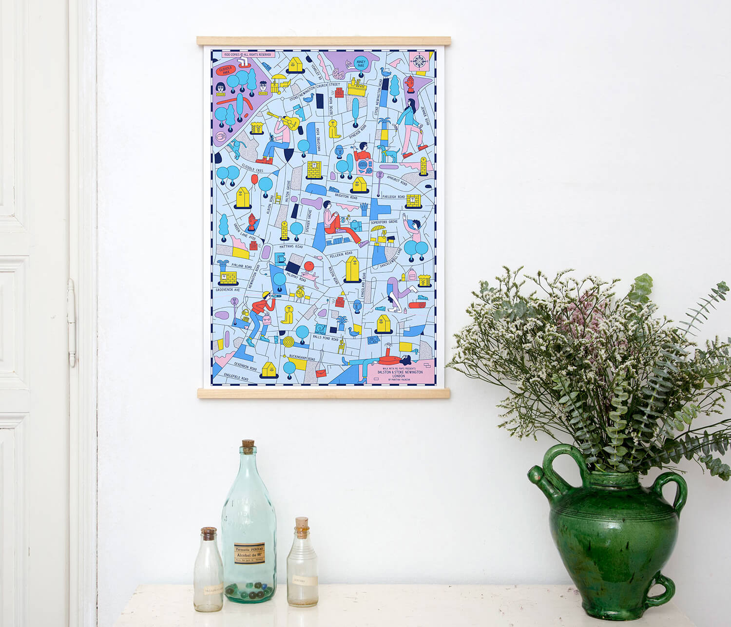
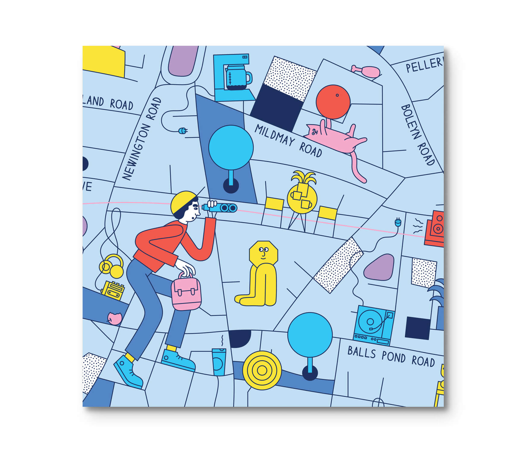
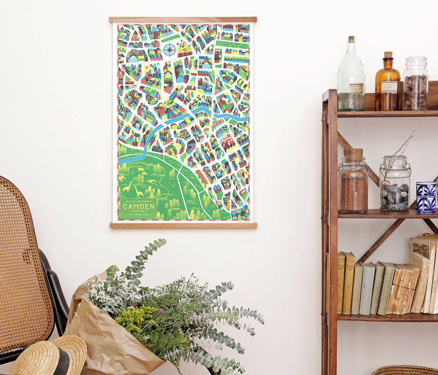
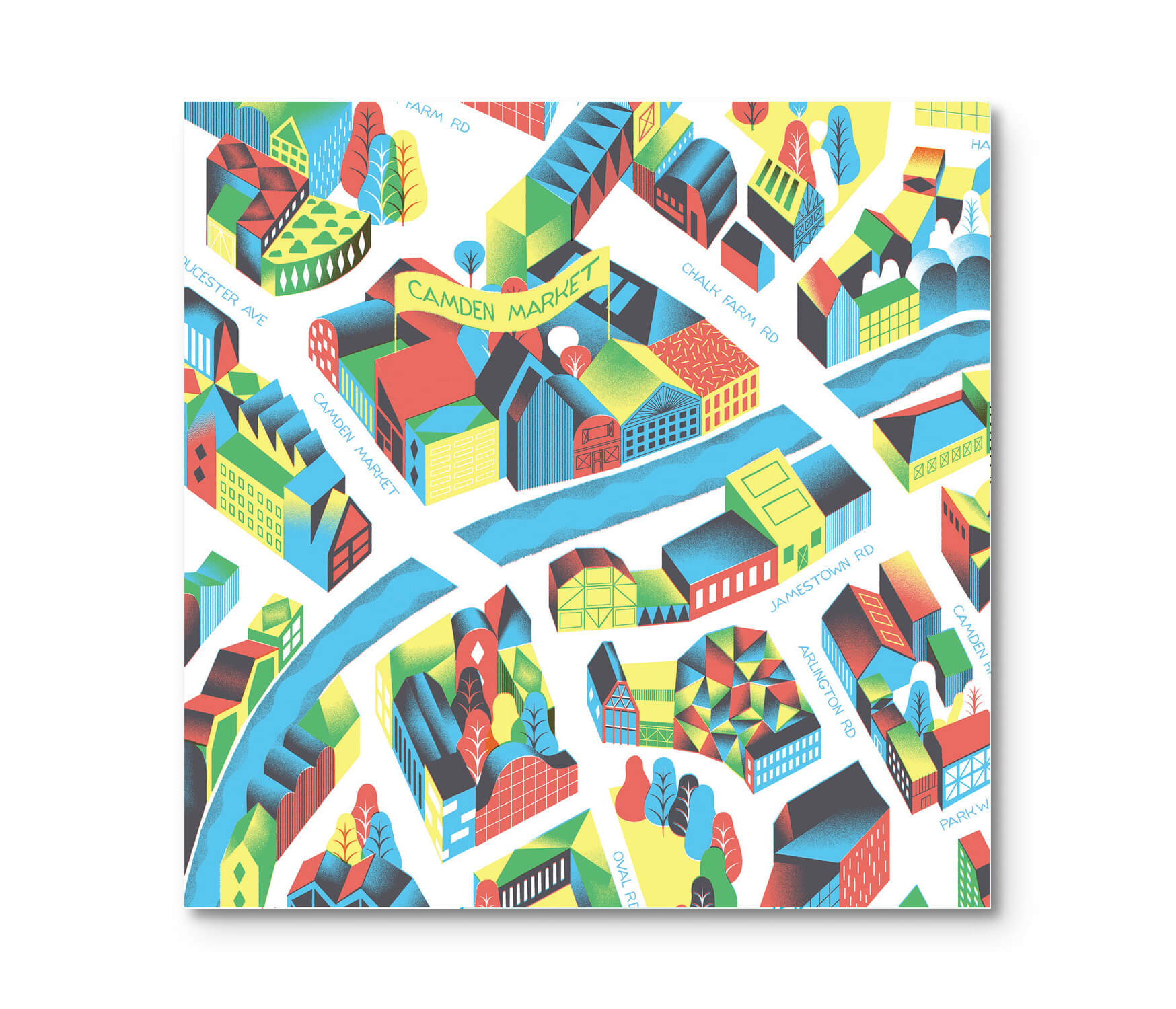
Soho, Shoreditch, Camden, Hackney, Peckham, Dalston o Notting Hill: cada barrio tiene su propia manera de ser Londres. Esta colección de láminas ilustradas recorre sus calles y plazas y destaca los lugares que les dan carácter. La cartografía se convierte en una forma de observar la ciudad de cerca, reconocer rincones familiares y descubrir detalles nuevos. Cada mapa funciona como una pieza independiente dentro de un retrato más amplio de Londres.
Discover London, neighbourhood by neighbourhood.
Soho, Shoreditch, Camden, Hackney, Peckham, Dalston and Notting Hill: each neighbourhood has its own way of being London. This collection of illustrated prints follows their streets and squares and highlights the places that give them character. Cartography becomes a way to look closely at the city, recognise familiar corners and discover new details. Each map stands on its own within a wider portrait of London.
Siguiente trabajo